WalkSafe app reveals “dangerous” places to walk in Grimsby
A safety app which alerts people when they are entering “high crime zones” lets you see where certain crimes have been reported in Grimsby.
Shortly after Sarah Everard’s body was found and the topic of women’s safety was increasingly discussed in the media, WalkSafe saw a surge in users, attracting over 500,000 new users in just one week.
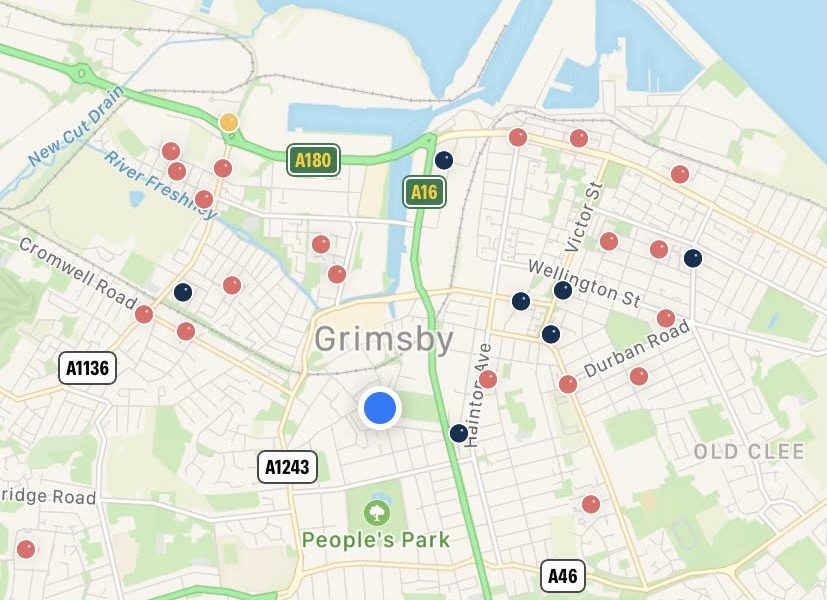
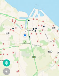
Available on both iPhone and Android, the app pins locations of reported crime in every area, such as sexual assault, muggings and knife crime, by using monthly data released by Humberside Police.
WalkSafe also has a feature known as TapSafe, which alerts loved ones connected to the app as soon as users open it. If something goes wrong and users stop tapping the screen, their “protectors” are instantly notified and shown their location.
The colours on the TapSafe feature will change depending on the time of day, allowing for discreet use at night time reducing the risk of alerting a potential attacker.
According to the app developers, “the WalkSafe map is designed to allow users to spot patterns and identify trouble hot spots where there is repeated crime.
“Whilst a single count is just a snapshot, it is the repeated patterns over time that give the most knowledge.
“That’s why the map is refreshed twice a week with new data from the monthly police reports.”
In Grimsby, users of the app can see many reported crimes in the area – with assault cases showing up the most.
According to the map on the app, the East Marsh and West Marsh areas appear to have the most cases of assault and knife crime.
Commenting on the user growth, co-founder of WalkSafe, Emma Kay, said: “This app should not have to exist, but if creating it helps just one person avoid a bad situation, it’s worth it.
“We have taken great care to develop features within the app that put knowledge and data in the hands of the user.”

